AgriAI
AI-powered field management with geospatial intelligence
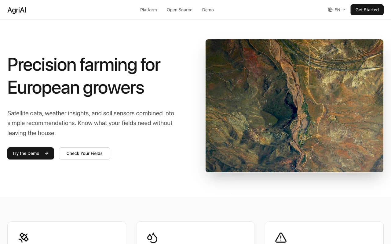
An agricultural management platform combining interactive geospatial maps, field data collection, and AI-driven insights. Farmers and agronomists manage parcels, track crop data, and analyze yield patterns - all in one multilingual platform.
Tech Stack
The Challenge
Modern agriculture generates enormous amounts of field data - GPS boundaries, soil samples, spray records, yield measurements - but most farmers still track this in spreadsheets or paper. The challenge was building a platform accessible enough for non-technical agricultural workers while powerful enough to handle complex geospatial data and multi-parcel farm management at scale.
The Solution
AgriAI uses Leaflet with Geoman for precise field boundary drawing and editing directly in the browser. Each parcel stores its geospatial polygon alongside agronomic data in Supabase with PostGIS. Recharts visualizes historical trends. The multilingual UI supports Slovak and Czech farmers without requiring technical training, with AI-driven recommendations surfaced contextually as users work with their field data.
Key Features
Interactive Geospatial Mapping
Draw, edit, and manage field boundaries directly on the map using Leaflet and Geoman - no GIS expertise required.
Parcel Data Management
Each field parcel stores soil data, crop history, spray records, and yield measurements with full historical tracking.
Data Visualization
Recharts dashboards visualize yield trends, input costs, and field performance across seasons and crop types.
Multilingual Interface
Full Slovak and Czech localization with next-intl - no language barrier for Central European farmers.